Agriculture has always been about location. The health of the soil, the availability of water, and the distance to market all shape whether a farm thrives or struggles. But today’s agricultural challenges go beyond the land itself. Farmers, cooperatives, and agri-businesses are managing increasingly complex networks of fields, infrastructure, suppliers, and risks.
The difficulty isn’t a lack of data—it’s a lack of clarity. Most of the information that matters exists, but it’s scattered in spreadsheets, siloed systems, or paper reports that don’t show how everything connects.
Maptimise provides the missing piece. By transforming these disconnected datasets into interactive maps, it gives farmers and agricultural leaders the power to see all their points of interest (POIs) in one place. From irrigation sources and storage facilities to pest outbreak zones and transport routes, Maptimise makes the invisible visible—helping the industry grow smarter, faster, and more sustainably.
Why Points of Interest Matter in Agriculture
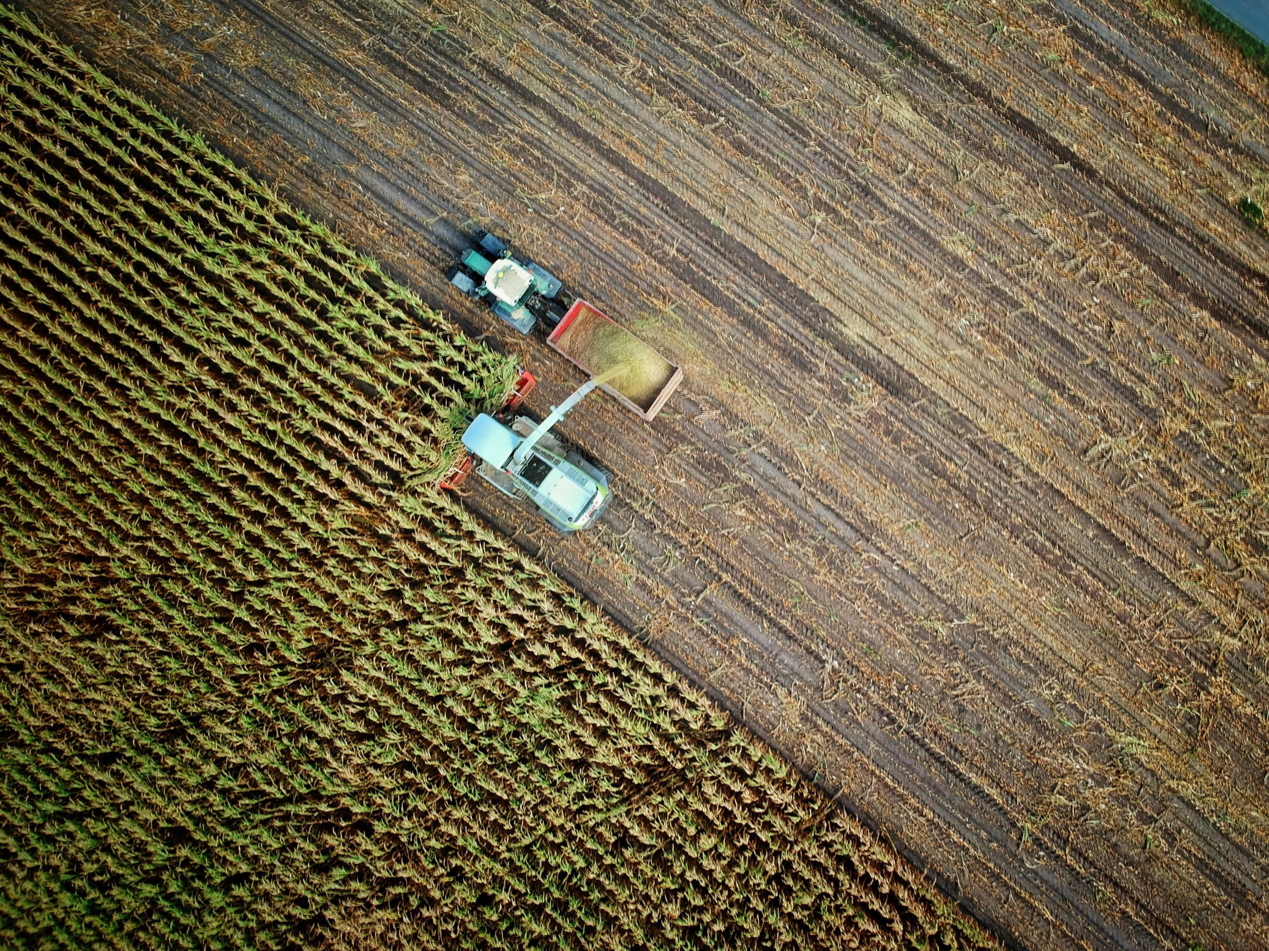
Agriculture is built on countless interdependent locations. Decisions are rarely about a single field—they’re about how fields connect to water supplies, how harvests move through storage depots, how goods reach markets, and how risks like pests or droughts spread across regions.
Each of these locations is a point of interest (POI) that carries weight in planning and decision-making. Seeing them together, instead of in isolation, is what makes the difference between reactive problem-solving and proactive strategy.
Examples of Agricultural POIs
Maptimise can map any dataset, but in agriculture the following POIs provide some of the clearest benefits:
- Fields and Crop Zones
Visualise which crops are planted where, track yields across seasons, and plan rotations more effectively. - Irrigation Systems and Water Sources
Monitor wells, canals, reservoirs, and irrigation infrastructure to optimise water use and reduce waste. - Storage and Distribution Hubs
Map silos, warehouses, and cold storage facilities to coordinate harvest logistics and avoid bottlenecks. - Livestock Facilities
Track locations of barns, pastures, and veterinary stations for better herd management and disease prevention. - Pest or Disease Outbreak Zones
Visualise affected areas, monitor spread, and plan containment strategies more effectively. - Weather and Climate Impact Points
Connect data from weather stations or climate models directly to fields and infrastructure for real-time risk awareness.
How Maptimise Helps
Unlike static reports, Maptimise brings POIs into a live, interactive environment. This allows agricultural stakeholders to:
- Layer data sources—Combine crop zones with water access, soil type, and storage capacity for a complete view.
- Filter and segment—Highlight only wheat fields, only high-capacity storage sites, or only areas affected by pests.
- Monitor changes over time—Track seasonal cycles, yields, and long-term trends across regions.
- Plan logistics more effectively—See the fastest routes from field to market while accounting for bottlenecks.
The result is clarity: a single operating picture that turns scattered data into actionable insight.
Benefits of Mapping POIs in Agriculture
The impact of POI mapping in agriculture extends across the entire value chain:
- Efficient Resource Use
By understanding where water, fertiliser, and machinery are needed most, farmers can reduce waste and cut costs while protecting the environment. - Faster Logistics
Mapping fields, storage, and routes ensures that harvests move quickly and efficiently from farm to market—reducing spoilage and increasing profitability. - Risk Reduction
From drought-prone areas to pest outbreaks, mapping risks alongside assets enables early action and greater resilience. - Better Collaboration
Agricultural cooperatives, suppliers, and distributors all benefit from a shared view of the same map—building trust and efficiency across the chain.
Secure, Practical Data Handling
Agricultural data is valuable, and protecting it is essential. Maptimise ensures that:
- All data remains client-owned and securely managed.
- Sensitive business information is never shared externally.
- Integration with existing datasets respects compliance and privacy requirements.
This makes the platform not only powerful but also trustworthy—an essential quality for the agricultural sector.
Conclusion: A Clearer Map for a Stronger Future
Agriculture has always been about connecting people, land, and resources. But in an era of climate change, rising demand, and tighter supply chains, the ability to see connections clearly is more important than ever.
By transforming scattered datasets into a unified view of points of interest, Maptimise provides farmers, agri-businesses, and policymakers with the clarity they need to make smarter, faster, and more sustainable decisions.
In agriculture, every point matters. And with Maptimise, every point can be seen, understood, and acted on—helping the industry grow stronger for the future.
Leave a Reply